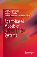
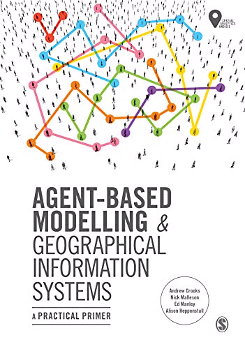
Agent Based Modelling and GIS
Just been released by Andrew Crooks, Nick Malleson, Ed Manley & Alison Heppenstall. Essential reading on ABM. Proud that it has come from our extended group in CASA and Leeds. I wrote the foreword. Click on the text to buy a copy.
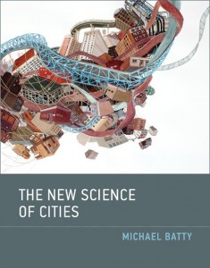
If you would like to purchase my new book, click on one of the links below to view online …


Category Archives: Visualisation
Planning Knowledge and Research
Here is a useful and interesting book on the nature of planning knowledge and research. My own contribution – click here to get the original PDF – is about scientific method and how theory and models pertain to the field … Continue reading
GeoComputation 2017
2017 International Conference on GeoComputation: Celebrating 21 Years of GeoComputation 4-7 September at the University of Leeds Stan Openshaw and his colleagues set up the first meeting 21 years ago in Leeds and it returns there for its coming of age. … Continue reading
Then and Now
In November 1986 I visited SunYatSen University and gave a public lecture about Urban Modelling. China was a very different world then, no cars, no computers, no email, barely functioning electricity. And of course it was before laptops, networks, hand-held … Continue reading