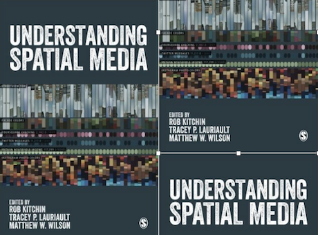
A new book from the Kitchin stable. I have a short chapter in it on smart cities and you can get it here. Over the past decade, a new set of interactive, open, participatory and networked spatial media have become widespread. These include mapping platforms, virtual globes, user-generated spatial databases, geodesign and architectural and planning tools, urban dashboards and citizen reporting geo-systems, augmented reality media, and locative media. Collectively these produce and mediate spatial big data and are re-shaping spatial knowledge, spatial behaviour, and spatial politics.
My chapter on Producing Smart Cities that you can download here within the book edited by Kitchin, Lauriault and Wilson Understanding Spatial Media brings together a series of ideas from around the globe to examine these new spatial media, their attendant technologies, spatial data, and their social, economic and political effects. The chapters are divided into the following sections: Spatial media technologies. Spatial data and spatial media, and the consequences of spatial media.

