Demonstrating a Prototype: for Dubai
As Part of a Demonstration for the UK Future Cities Catapult
We developed a prototype of an urban model to simulate the urban structure in terms of the locations of population and employment and the transport flows between these activities for the city of Dubai. This was developed very quickly over a matter of a couple of days and our concern was to see how far we could get in what we considered was a data-poor environment. We got NO DATA from Dubai except their communities map which gave us the land uses zones and this was scrapped off their web site. All the data we got was in the public domain from sources such as Google Point of Interest data, OpenStreetMap, and various remote sensed imagery.
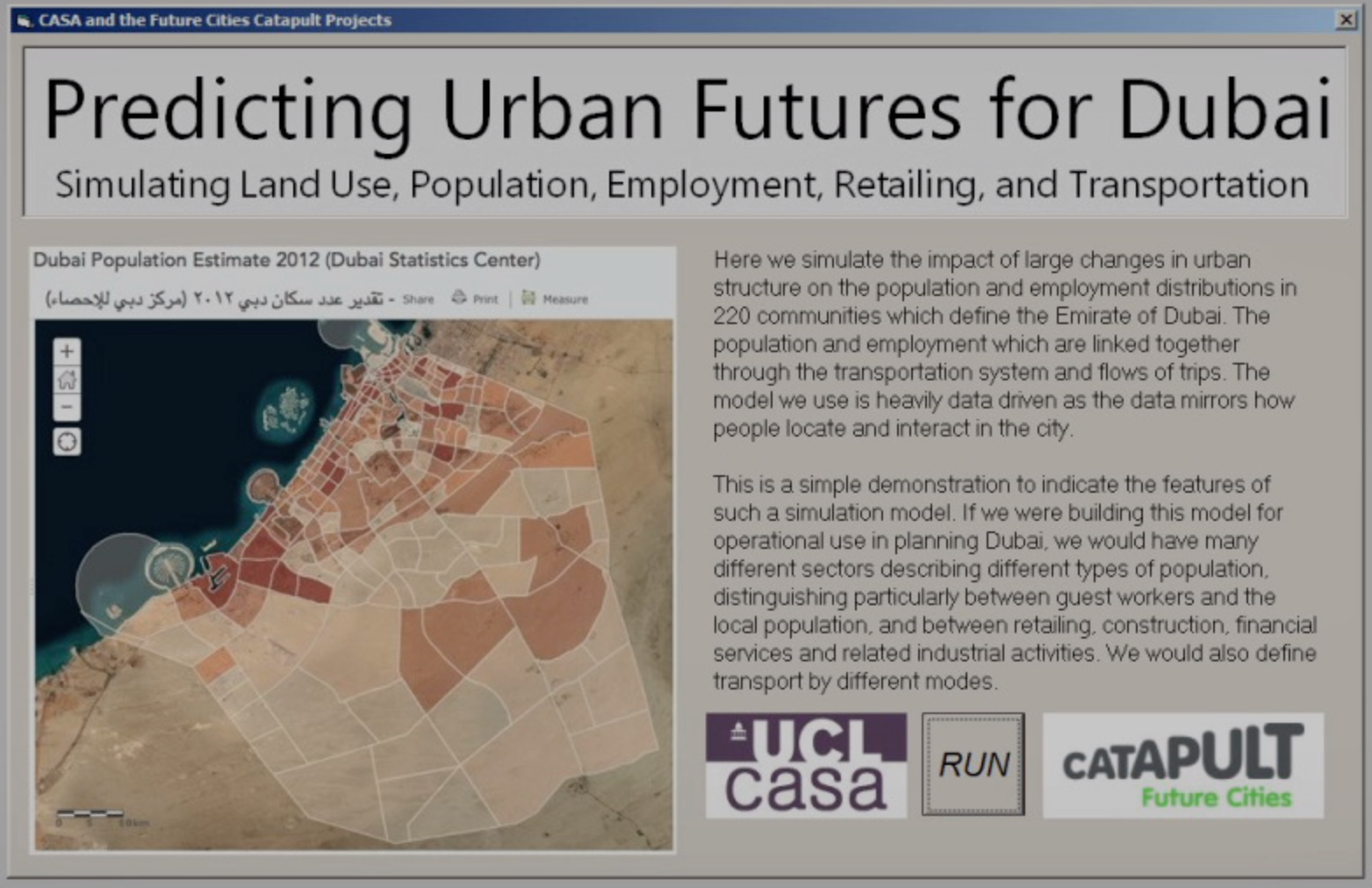
Here below is the location of the city and its subdivision into zones. This is the splash screen of the desktop software when it loads. We show a movie of what the users sees when the software is activated. We show how the model can be used to simulate the locational impact of adding 200,000 new jobs to a new city centre complex to the south of the existing city. If you click on the picture below you will launch the movie (which is in quick time format)
Here is the movie – If you click on the picture above you will launch the movie (which is in quick time format)